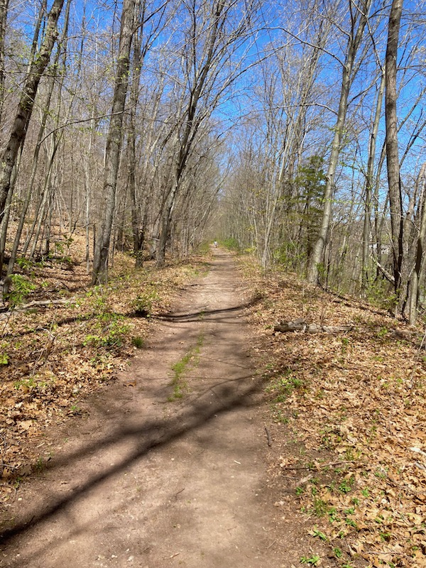
Today I decided to hike the abandoned railroad bed in Portland, CT. This stretch was part of the Air Line built way back in 1873 as a more direct route between New York City and Boston.
I parked at the Golf Shop on Rt 66 and hiked up the short hill to get to the flat raised embankment.
Surprisingly, it was well used - probably a favorite of local ATVers.
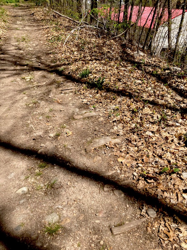
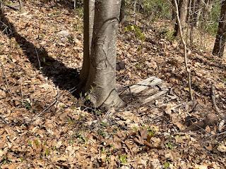
There were still plenty of railroad ties in the ground!
I even spotted a couple of dinosaurs! <wink>
 |
| railroad ties |
 |
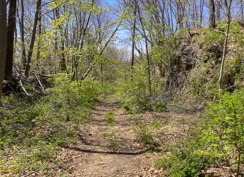
Ah - a rock cut!
Overgrown for sure but still cool... |